To understand the scientific accuracy of the Sumerian texts and dismantle the thesis that they are mere fantasies of primitive peoples, it is necessary to analyze how these peoples counted the planets of our solar system. Modern astronomy counts the planets starting from the Sun outward: Mercury is first, Venus second, Earth third, and Mars fourth. In Sumerian representations and cylinder seals dating back to the third millennium BC, the numbering is exactly reversed. The Sumerians counted the planets from the outside inward, taking as the starting point the entry into the solar system of a celestial body coming from an external elliptical orbit, identifiable with Nibiru.
In this inverted spatial map, Pluto becomes the first planet encountered, Neptune the second, Uranus the third, Saturn the fourth, Jupiter the fifth, and Mars the sixth. Earth is consistently identified and symbolized as the seventh planet. This is not a philosophical speculation: in numerous cylinder seals, Earth is graphically represented by the number seven or by a circle surrounded by seven dots, while Mars is depicted as a six-pointed star or associated with the number six. This numerical coding represents a true flight plan. The Anunnaki, entering the inner solar system, used Mars as the sixth stop to decelerate and stabilize their cargo shuttles loaded with gold and precious materials extracted on Earth before making the final jump to our planet. Mars, thanks to its lower gravity compared to Earth and the past presence of water and protective atmosphere, was the ideal place to establish an intermediate orbital and landing station, drastically reducing the energy and fuel consumption needed for heavy takeoff and landing maneuvers.
The Data of Lahmu and the Connection with the Igigi
In the translations of Sumerian-Akkadian epic texts, such as Atrahasis and Enuma Elish, there is constant reference to a faction of minor deities called the Igigi, who were entrusted with maintaining the transit stations and overseeing the transport of gold cargoes. The texts describe the Igigi as the "sleepless ones," forced to grueling shifts in space and on celestial platforms. Lahmu, the red planet, was their main base. The data described in the tablets speak of giant sandstorms, a salmon-colored sky, and very deep canyons that tear the planet's surface, descriptions that eerily coincide with the morphology of Valles Marineris and the global dust storms that periodically envelop Mars.
How could the Sumerians know the real atmospheric and geographical consistency of Mars without telescopes or space probes? The answer is obvious: the information was transmitted directly by the creators of our civilization. The flight texts describe the approach trajectory to Lahmu indicating precise orbital insertion angles that take into account the planet's mass and gravitational attraction. These coordinates were not for priests to celebrate religious rites but were technical manuals for extraterrestrial navigation. When NASA began mapping the Martian surface with the Viking probes in the 1970s, it found geological and monumental anomalies precisely in the areas that, according to astronomical calculations derived from ancient texts, corresponded to the preferred coordinate points for the Igigi shuttles' landings.
The Censorship of Cydonia and the Great Deception
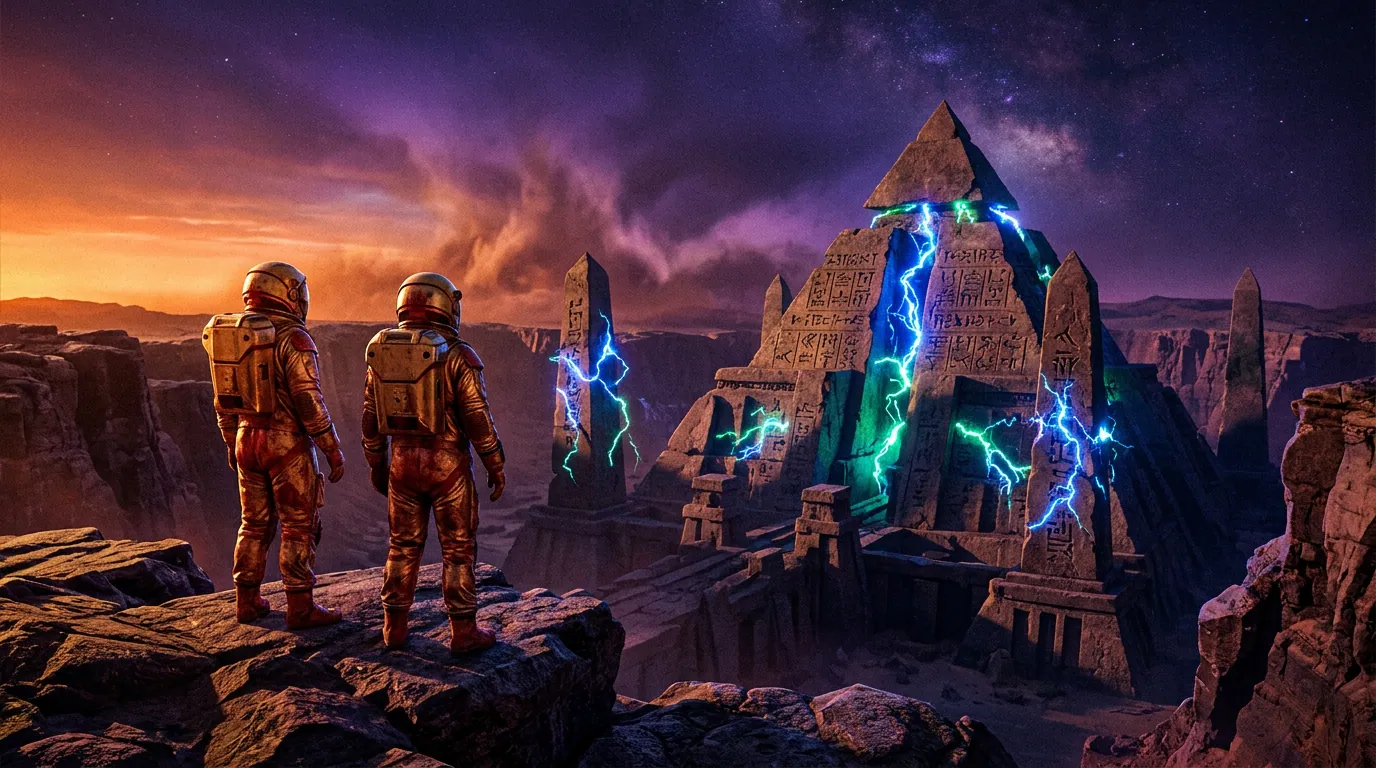
The main obstacle to the dissemination of these discoveries is not the lack of evidence but the rubber wall erected by regime scientific institutions. The Martian region of Cydonia, famous for the famous "Face on Mars" and the surrounding pyramid complex, shows a geometric arrangement that mathematically perfectly mirrors the Giza plateau and the sacred complexes of Mesopotamia. The pyramids of Cydonia have the exact same alignments based on the mathematical constant Pi and the golden ratio that we have traced in Earth's stone computers.
NASA has spent decades and millions of dollars downgrading these structures to mere optical illusions, light and shadow plays caused by the natural erosion of Martian winds. However, independent analysis of the pixels and raw altimetric data of the first photos taken by Viking 1 reveals a very different truth. Subsequent images, released with presumably higher resolutions, were blatantly manipulated, artificially blurred, and color-altered to hide right angles, access ramps, and bilateral symmetries of the Martian artificial structures. Admitting the existence of an artificial transit base on Mars would instantly validate the entire Sumerian chronology, forcing the academic elite to admit that the history of human evolution is a colossal lie and that we have always been under the control of superior intelligences from outside.
Conclusion: The Return to the Forbidden Truth
The fragments of the cosmic code are scattered before our eyes, hidden in texts that the guardians of academic dogma stubbornly define as childish myths. The coordinates of Mars and the Anunnaki transit station are the keystone to collapse the entire global control system that wants us confined in a bubble of scientific and historical ignorance.